The Federal Government says it plans to adopt geospatial technology towards boosting Internally Generated Revenue, IGR, in the country as parts of its efforts to diversify the economy.
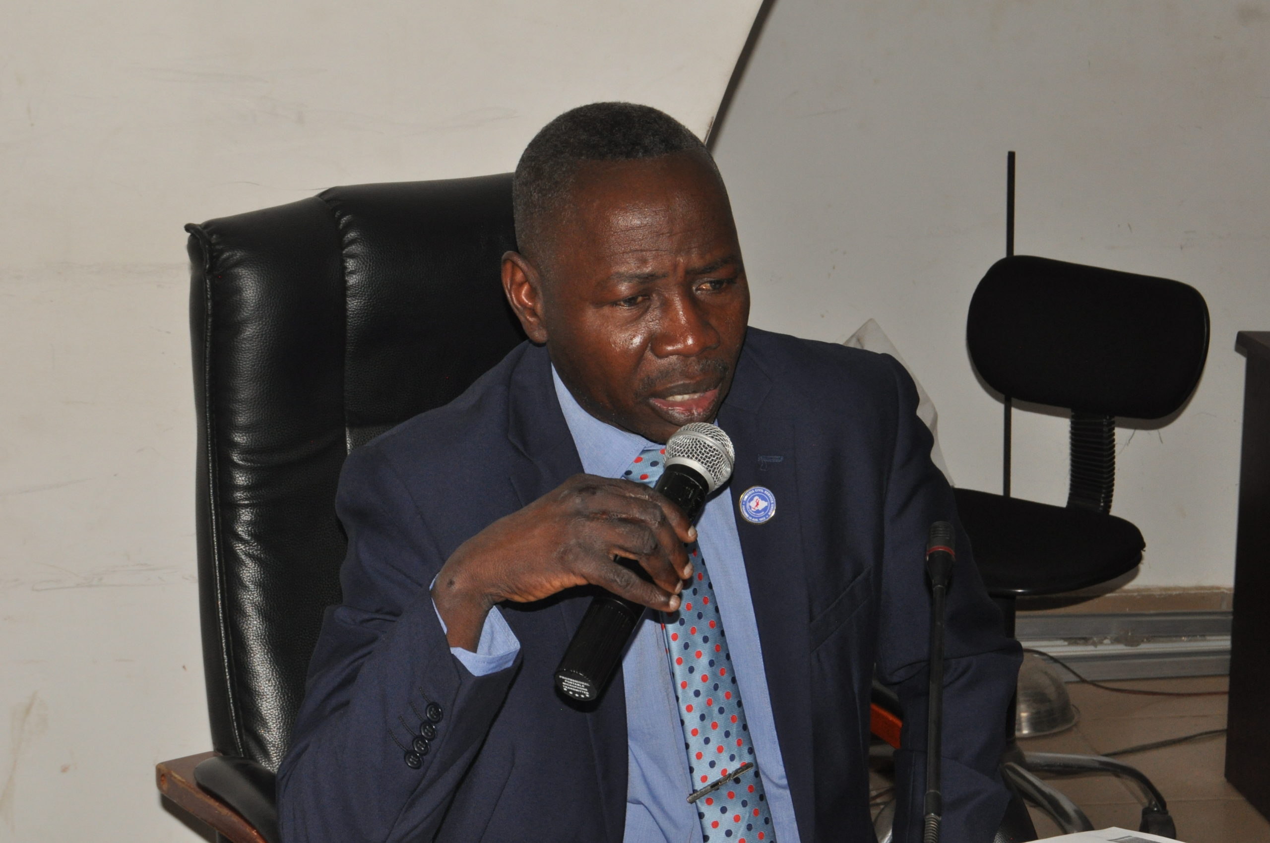
Samuel Adeniran, Surveyor-General of the Federation, said this at the 2020 Geospatial Information System, GIS, Day celebration organised by the Geospatial Society of Nigeria, GEOSON, in Abuja on Wednesday.
The theme of the celebration was “Driving Internally Generated Revenue with Geospatial Technology”.
“Human beings can only manage effectively their present and future when they can predict phenomena with substantial data of happenings in their environment.
“Since money is an important factor for formulation, planning and execution of nearly all human endeavours, the issue of IGR has become fundamental in the modern world.
“With the rising cost of governance and demands of various sectors of the economy on the government, there is need to continue to explore every means of enhancing our financial base.
“Although, surveying and mapping, GIS and remote sensing are not end themselves, the nation cannot continue to subsist in self-deception of making meaningful progress without geospatial knowledge and application,” he said.
Mr Adeniran added: “The government is now focusing on the diversification of the economy to lessen dependence on the downstream sector and the use of geospatial technology to harness resources in mining, tourism, agriculture, transportation, land and housing among other engagements.”
He called on stakeholders to provide the government with requisite geospatial data to ensure good decision making, planning and implementation of policies and programmes to improve the lives of Nigerians.
GEOSON President, Dr Matthew Adepoju said geospatial technology has been deployed in many climes by the media to handle COVID-19 pandemic and recently the U.S presidential election.
“The 2023 is around the corner, we need to work together with the News Agency of Nigeria and other media organisations to have our reportage online with geo-information technology around the world,” he said.
He emphasised that geospatial technology was among the top 10 fields projected to become centre of emerging technologies’ development and among the 20 highest paid professions globally, hence the need for practitioners to upgrade themselves.
“Most of traditional professions will be taken over by Artificial Intelligence and robotics in the next few decades.
“This is a clarion call for all of us to acquire more skills and read extensively to be well positioned for the rapid development in the field of geospatial science and engineering,” Mr Adepoju said.
Prof Joseph Akinyede, Chairman, GEOSON Board of Trustee, said that the realisation of a country’s sustainable socio-economic development depended on availability of geospatial information.
“Geospatial technology must be part of a nation’s infrastructure such as in transportation, healthcare, telecommunications and accorded same level of support and priority because it provides geographic information of the country in terms of asset and potential.
“Increase in sharing quality data will lead to efficient management of the nation’s natural resources and environment resulting in quality life of the people,” Mr Akinyede said.
According to him, geospatial technology experts complement other professionals, so there is need to work in synergy to develop the country.
Dr Francis Chizea, Acting-Director of the National Space Research and Development Agency, NASRDA, said geospatial technology will be useless without strong reliable dataset.
Mr Chizea, represented by Dr Godstime James, said ” the agency is championing the GRID3 programme to provide demographic, geographic and settlement data of the country.
“The agency is pushing for the revatilisation of National Geospatial Data Infrastructure to have uniform fundamental dataset which we can build geospatial data required for IGR.”
Geospatial Technology is an emerging field of study that includes GIS, Remote Sensing (RS) and Global Positioning System, GPS, that enables institutions to acquire data referenced to the earth and used such for analysis, modeling, simulations and visualisation.
NAN


